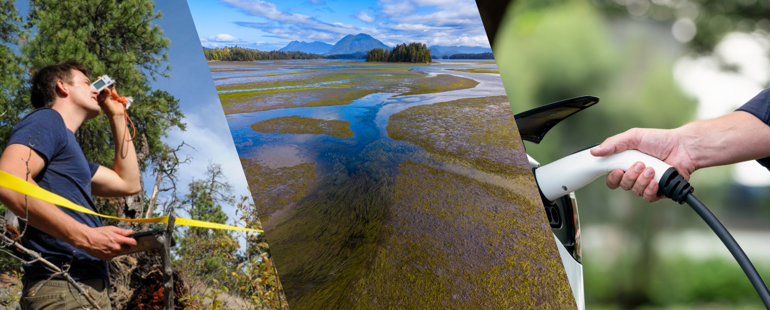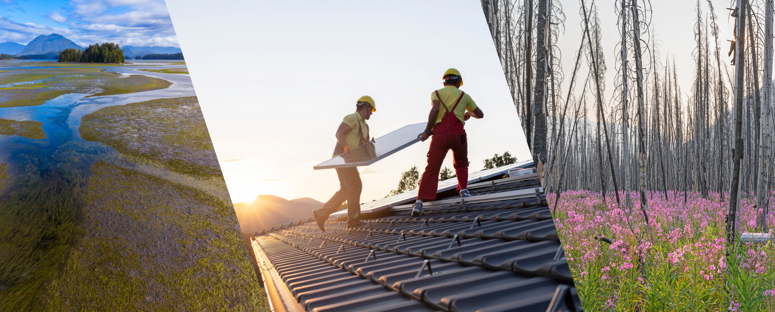
Municipalities influence about half of Canadian greenhouse gas emissions and play a critical role in climate adaptation. Researchers at two initiatives based on southern Vancouver Island in British Columbia, Resilient Urban Systems & Habitat (RUSH) and Engage with Nature-Based Solutions (ENBS), have been funded from PICS’ Climate Foresight program to develop tools communities can use to track local climate action. Through interactive maps, art, games, and public education, they help residents learn from one another, identify local priorities, and support coordinated action across municipalities.
Dr. Sara Nelson, PICS Climate Foresight Lead, spoke with Anne-Marie Daniel of RUSH and Dr. Maleea Acker of ENBS about their work and what they’ve learned about the landscape of local climate action on the South Island.
Maleea Acker, with ENBS, is a MITACS post-doctoral fellow at the University of Victoria and a practicing writer and artist. Her academic work focuses on community-based participatory research, place, arts-based methods, and environmental literature. Her creative work includes three books of poems and a non-fiction book on the Garry Oak meadows of B.C.’s South Coast.
Anne-Marie Daniel, with RUSH, is a biomimicry professional, mediator, entrepreneur and community organizer. As the founder of NatuR&D and The RUSH Initiative she creates opportunities to engage the creative spirit in all of us with nature as guide. Her published works include Symbioscene: Practical Utopias led by Margaret Atwood.
Engage with Nature-Based Solutions (ENBS) is a cross-disciplinary initiative that has featured collaboration between the University of Victoria and local community organizations. ENBS supports communities to apply nature-based solutions to their local lands and waters. The initiative acknowledges and takes inspiration from Indigenous Peoples, whose cultures and traditions support healthy ecosystems and the interconnection and importance of all living things. ENBS collaborates with communities, collects and curates resources, produces education modules, facilitates arts-based interventions and storytelling, and provides technical equipment for monitoring and testing in the field.
Resilient Urban Systems & Habitat (RUSH) is a cross-sectoral collaboration to create rapid resilience in record time, by engaging people in creating the conditions for health now and into the future. By showcasing the research and innovation happening in the South Island through interactive maps, RUSH hopes to empower communities to promote neighbourhood resilience and ecological solutions in the urban planning process. Their mapping tools help people to connect habitats, restore watersheds, feel a sense of belonging, and start conversations that help reverse the trends of climate change, pollution, and hopelessness.
SN: Can you tell us how your two organizations (RUSH and ENBS) began to work together, and what that collaboration looks like now?
MA: Anne Marie and I started working together six years ago, when I first started teaching the Department of Geography’s Community Mapping course at the University of Victoria. Each term, students partner with community organizations to help them achieve a mapping goal. Anne Marie has been one of our partners since the beginning through the RUSH Initiative, and we’ve had hundreds of students come through her organization. A lot of the projects continue from one term to the next, so it’s been a great opportunity for students to get into the real world and do something that has an impact on the community.
AMD: One of the main gifts of RUSH is observable, measurable, replicable action that reliably makes a difference.
In 2019 my municipality, the District of North Saanich, declared a climate emergency, and one of the to-dos that came out of that was to get a group of community experts to make recommendations to the municipality. In the process, I realized there wasn’t enough information available to tell us how close we were to meeting our greenhouse gas reduction targets in the district.
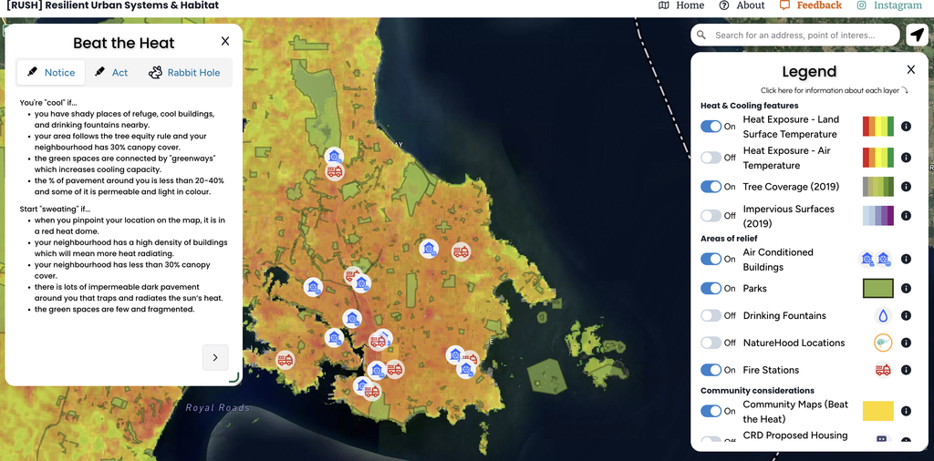
We used open-source tool greenmaps through UVic’s map shop to identify features that are more powerful when connected — as natural infrastructure. Things like pollinator gardens and rain gardens, that support healthier watersheds and help regulate temperature.
We’ve also worked with students to better understand local heat risks. Even before the Capital Regional District (CRD) had heat maps, we had students mapping historical temperature averages to identify areas most vulnerable to extreme heat. We did participatory research to learn how communities fared during the heat dome and then used those findings to create an advocacy tool that helps people take action on health and climate resilience across the South Island.
SN: What kinds of strategies do you use to engage communities in creating and using your maps and metrics?
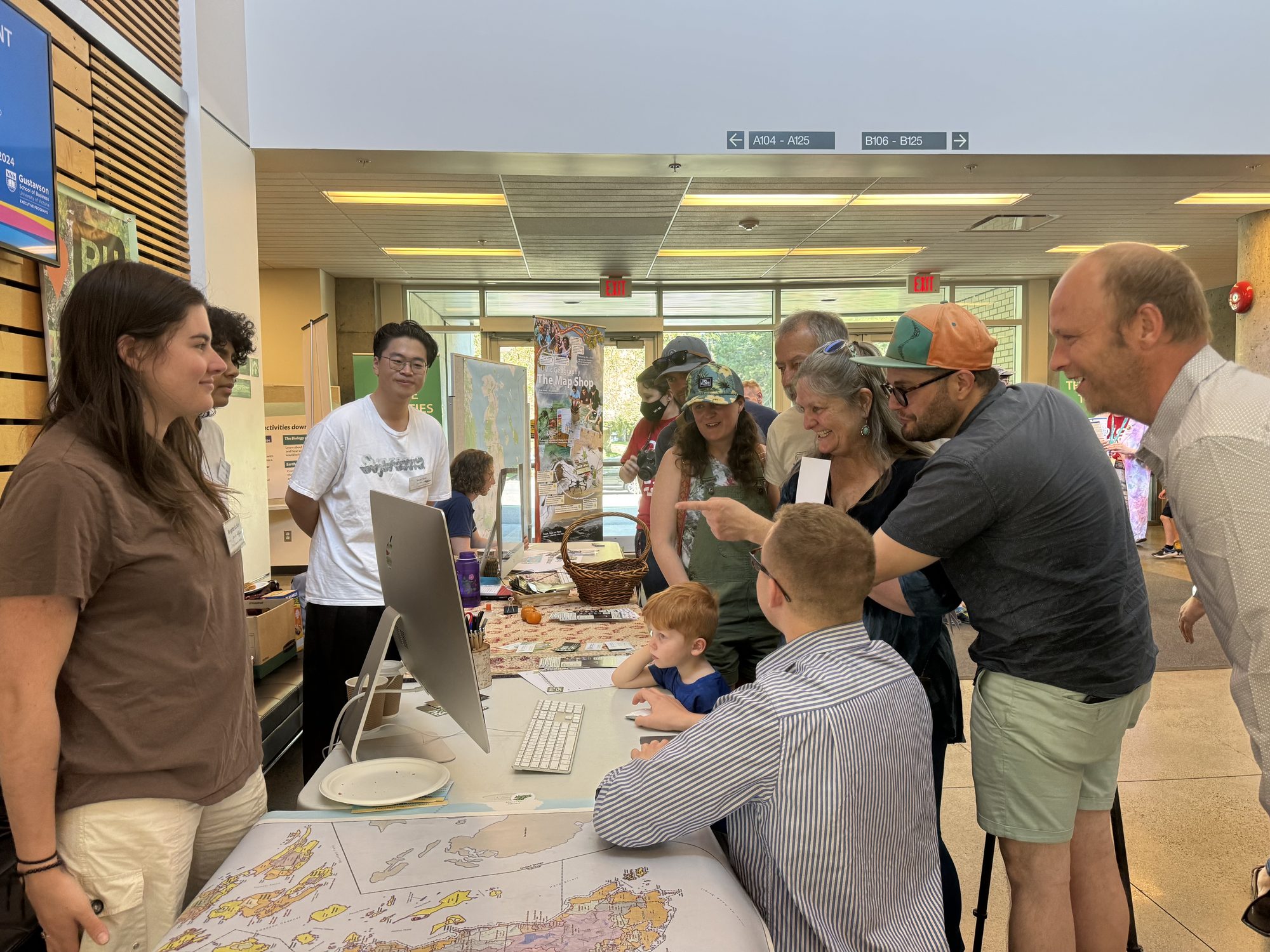
MA: We work with community partners who have networks and people already in place, and our community mapping sessions range from small groups of committed local volunteers all the way up to World Oceans Day in Sidney that involves upwards of 2,000 people.
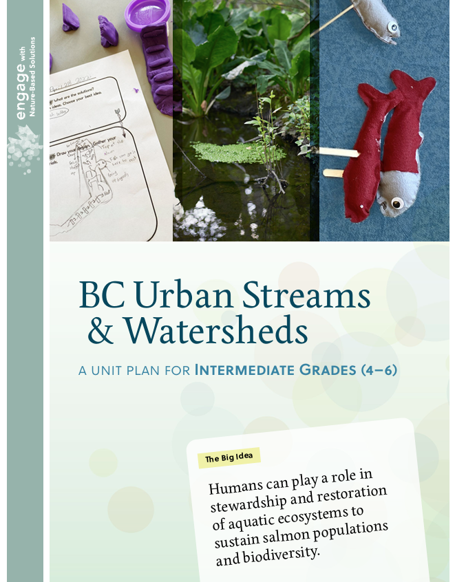
Our support for schools has grown out of these partnerships. As we connected with more teachers around the region, we saw that there was a real need for more place-based and arts-based education, which we were already facilitating with our UVIC students. So, we decided to create curricula that would support them to do this kind of work in their classrooms.
The unit plans are free to use, and they’re very place-based for B.C. The Grade 7 curriculum, for instance, offers a design challenge for climate-resilient housing and watershed protection.
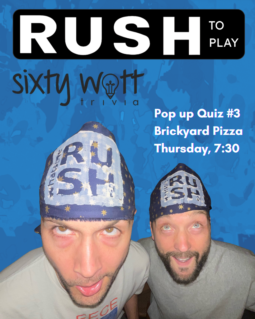
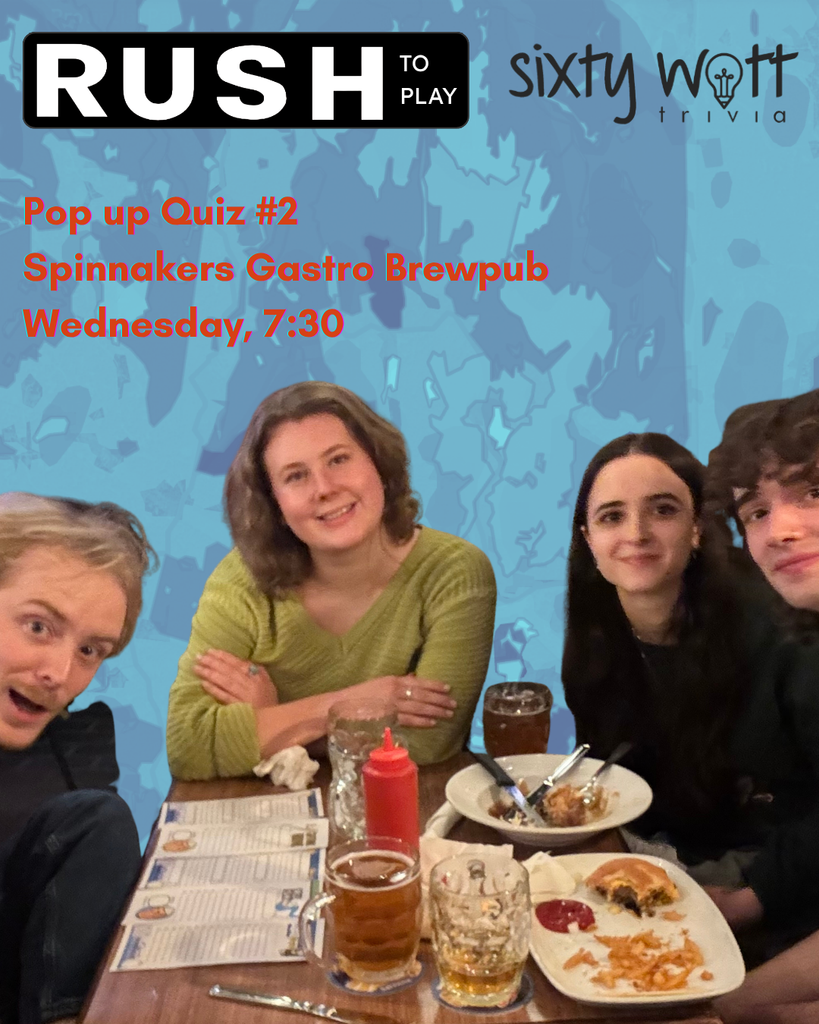
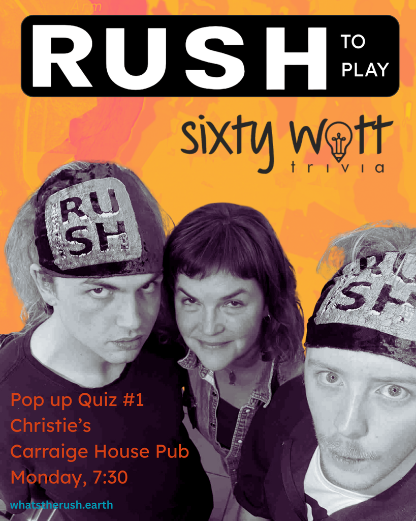
AMD: RUSH has been inspired by ENBS’s playful approach to engagement, and we recently put on a game show in collaboration with Sixty Watt, an organization that runs trivia nights across the CRD. We ran 132 pop up quizzes, with prizes donated by 40 local businesses. It helped raise awareness, but it was also encouraging to see how much knowledge people have when you tap into the wisdom of a crowd.Our experience with both the games and our community mapping work has shown that there is a pathway to climate readiness at the moment, and it’s a high-touch pathway through personal relationships, community events, and giving people the tools to put themselves on the map.
SN: What have you learned from your mapping work about where climate action is happening at the community level? And what kinds of metrics for tracking climate action have you found most meaningful?
AMD: We’ve learned there are so many people, community groups, and neighborhood associations who are very dedicated and organized. People’s love for their community is a huge bright spot.
In terms of metrics, Nature Canada has the tree equity rule to measure equity in access to the health and cooling benefits of tree coverage., The rule says you should be able to see three trees from your window, have 30 per cent canopy cover, and be within 300 meters of a park that’s at least a hectare. But what we’re finding is that if you only have 30 per cent canopy cover, it could all be concentrated in a park. We’ve compared policies in 13 municipalities, looking at whether they have an urban forest management plan, a goal of 40 per cent canopy cover, and measures to ensure that canopy is connected across the landscape—not just concentrated in a single park. Another metric used in some other jurisdictions is to have less than 10 per cent pavement in an area. If you want to mitigate the heat, you need permeable surfaces. Some places in the Capital Regional District (Victoria and its surrounding municipalities) have between 80 and 100 per cent pavement. Those areas can create both flood and heat risks.
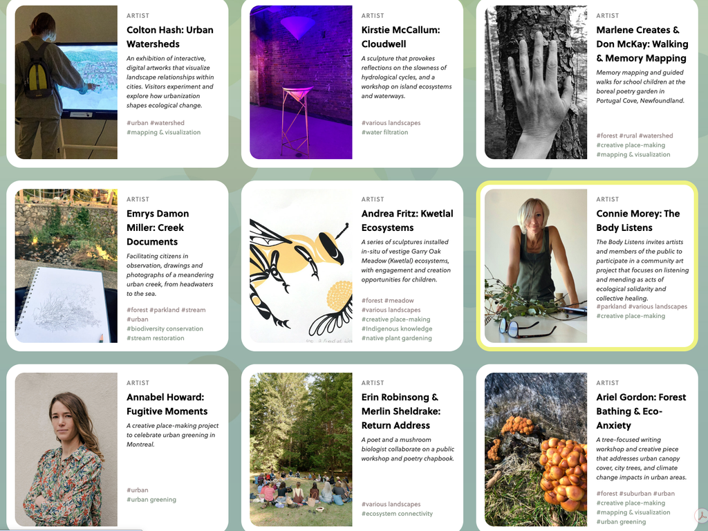
MA: Metrics are really crucial for inspiring people, and that’s where art comes in. ENBS has supported a dozen artists through commissions, so that they can turn metrics into things that are beautiful, instructive, that people want to go see.
It’s not just about feeding people facts, but also inspiring them: Where’s your heart at? What’s going to make you want to make some positive changes?
SN: What do you see as the biggest challenges to implementing nature-based solutions in urban spaces?
MA: As uninvited guests to this land, many colonists are still harkening back to a landscape that doesn’t exist here and never did. There’s a nostalgia for the old world, and so we bring old world plants like ivy and periwinkle, and we bring old world ideas like the lawn. And we try to force this place into something that it’s not.
I think a real philosophical shift is needed to reconnect ourselves with this place. Learning needs to take place to recognize the incredible history of cultivation and caretaking that happened and is still happening by First Nations.
AMD: A big challenge for me is this forced choice between economy and environment. There’s a false narrative around the cost of natural infrastructure. The cost of putting it in an eelgrass bed is so cheap compared to what it’s actually worth. And so when developers say, ‘I can’t afford to spend that extra time to think about that,’ what they’re not accounting for is how much it will cost communities over time if they don’t have, for instance, an energy efficient building with natural cooling mechanisms. So we think we’re preferencing the economy, but we’re not paying the true value for everything.
The biggest problem we need to fix in Canada is to do right by the Nations. And that’s a big challenge if we don’t get leadership on this. People need their governments to be able to lead on climate readiness and on reconciliation. We want to help folks with a shared language, imagery, and metaphor to get those conversations started.
PICS seed funding through the Climate Foresight Program enabled RUSH and ENBS to apply for and receive a MITACS grant to expand their collaboration, supported community outreach and education in the CRD, and will support further grant-writing opportunities to advance the collaboration.